


Skyspec Technologies delivers Drone-as-a-Service (DaaS) 2D and 3D modeling solutions designed to transform complex site data into clear, actionable visual intelligence for planning, analysis, and decision-making.
Rather than simply producing maps or models, we provide an end-to-end digital modeling solution that combines aerial data capture, photogrammetry, and advanced processing to create accurate 2D orthomosaics and high-resolution 3D models. These outputs allow clients to fully understand, measure, and manage their assets and environments remotely.
Across industries such as construction, mining, infrastructure, and property development, common challenges include:
- Limited visibility of site conditions and progress
- Difficulty communicating complex spatial information to stakeholders
- Inefficient manual measurements and reporting processes
- Costly errors due to outdated or inaccurate data
- Lack of integration between field data and planning systems
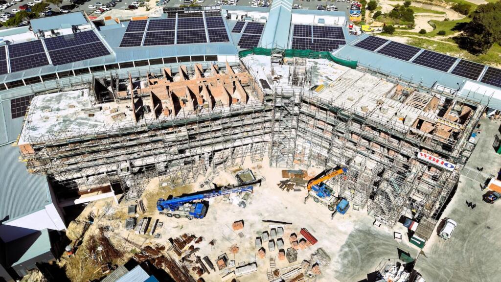
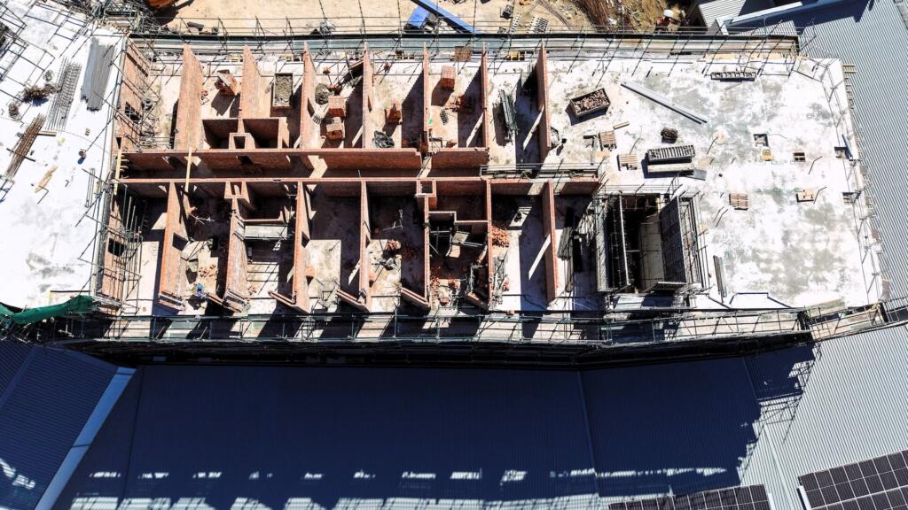
Skyspec addresses these challenges by creating highly detailed digital representations of real-world environments, enabling precise measurements, volumetric analysis, progress tracking, and scenario planning. This allows teams to move from fragmented, manual workflows to a centralised, data-driven approach that improves collaboration and reduces risk.
Our models support applications such as construction progress tracking, mining volumetrics, infrastructure planning, asset visualisation, and digital twin development. By enabling stakeholders to access and interact with site data remotely, we significantly reduce the need for repeated site visits and improve decision-making speed.
Through repeatable data capture and model updates, clients gain continuous insight into changes over time—enhancing control, accountability, and project efficiency.
