

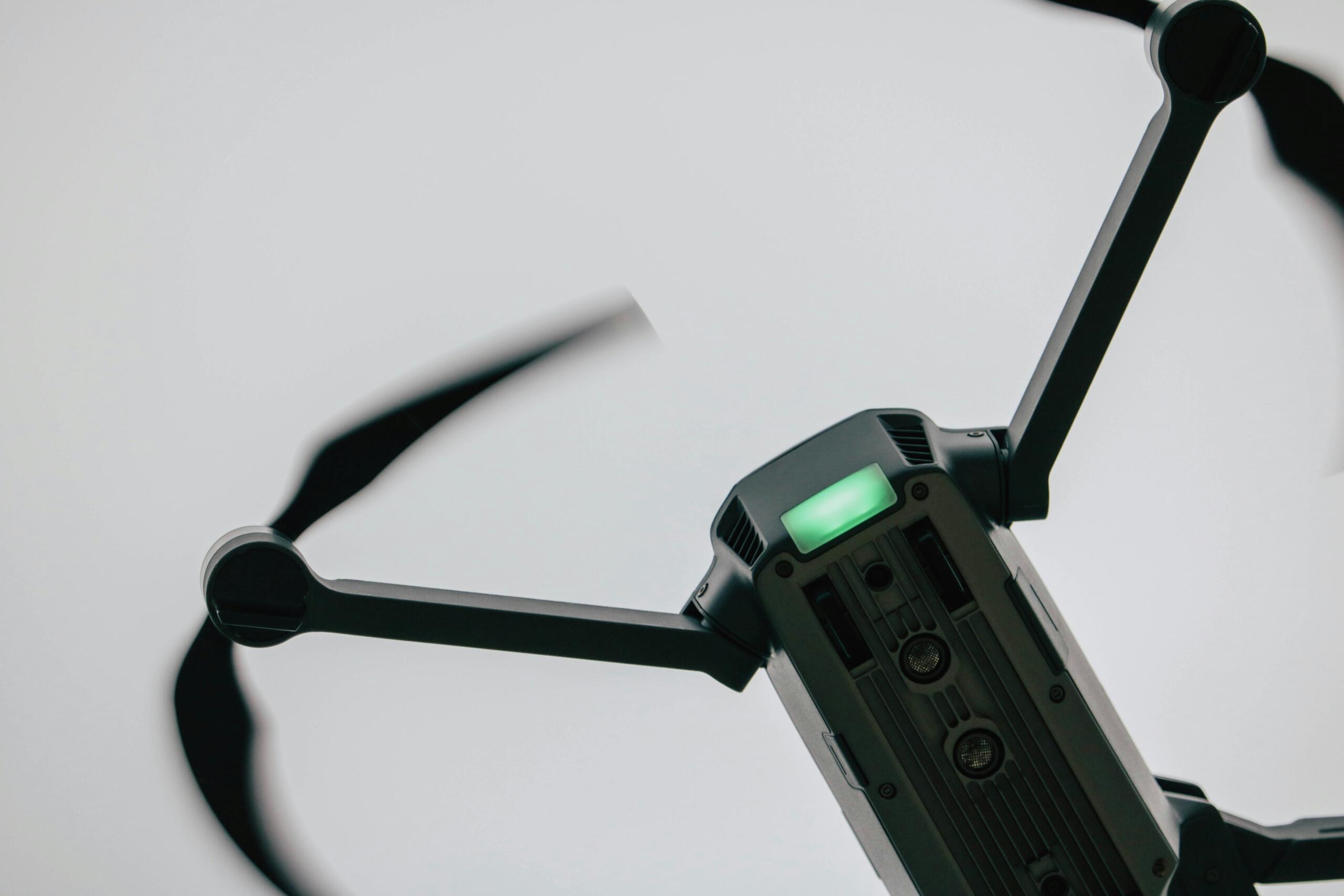
Skyspec Technologies delivers Drone-as-a-Service (DaaS) land surveying and LiDAR scanning solutions designed to solve complex spatial, engineering, and planning challenges with speed, accuracy, and efficiency.
Rather than offering basic surveying, we provide an end-to-end geospatial intelligence solution that combines advanced UAV platforms, LiDAR sensors, and data processing capabilities to produce highly accurate terrain and structural insights. This allows clients to gather critical information faster and more safely than traditional ground-based methods.
Projects across construction, mining, infrastructure, and environmental sectors often face challenges such as:
- Time-consuming and labour-intensive survey methods
- Limited accuracy in dense vegetation or difficult terrain
- Safety risks in hazardous or inaccessible environments
- Delays in project planning due to slow data turnaround
- Lack of high-quality data for decision-making

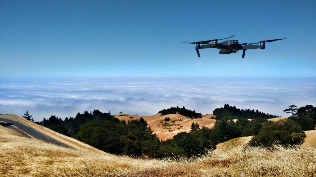
Skyspec addresses these challenges by delivering rapid, high-precision data capture, with LiDAR technology capable of penetrating vegetation to generate detailed topographical models, elevation data, and surface analysis. This enables a shift from manual, reactive workflows to a streamlined, data-driven approach for planning and execution.
Our solutions support a wide range of applications, including site development, mining volume calculations, infrastructure planning, route mapping, environmental assessments, and large-scale land analysis. By providing accurate geospatial data early in the project lifecycle, we help reduce costly errors, improve planning confidence, and accelerate timelines.
Through repeatable surveys and structured data outputs, clients gain ongoing visibility into site conditions, progress, and changes over time.
